This project constructs a digital atlas that explores the friction between fact and fiction, overlapping oral memory and historiographical research to examine how oil infrastructure along Venezuela’s Paraguaná–Maracaibo axis simultaneously and reciprocally transformed the territory and the collective identity of a country. This is an ongoing research by Luis Pimentel Mendez, an architect and urban researcher. Originally from Maracaibo, Venezuela, now based in Milan, Italy.
Contact: luispimentelm@gmail.com
© 2026 Luis Pimentel Mendez. All rights reserved.
 Venezuela. View from the northeast. Fortune Magazine. 1939. Map design by Richard Edes Harrison
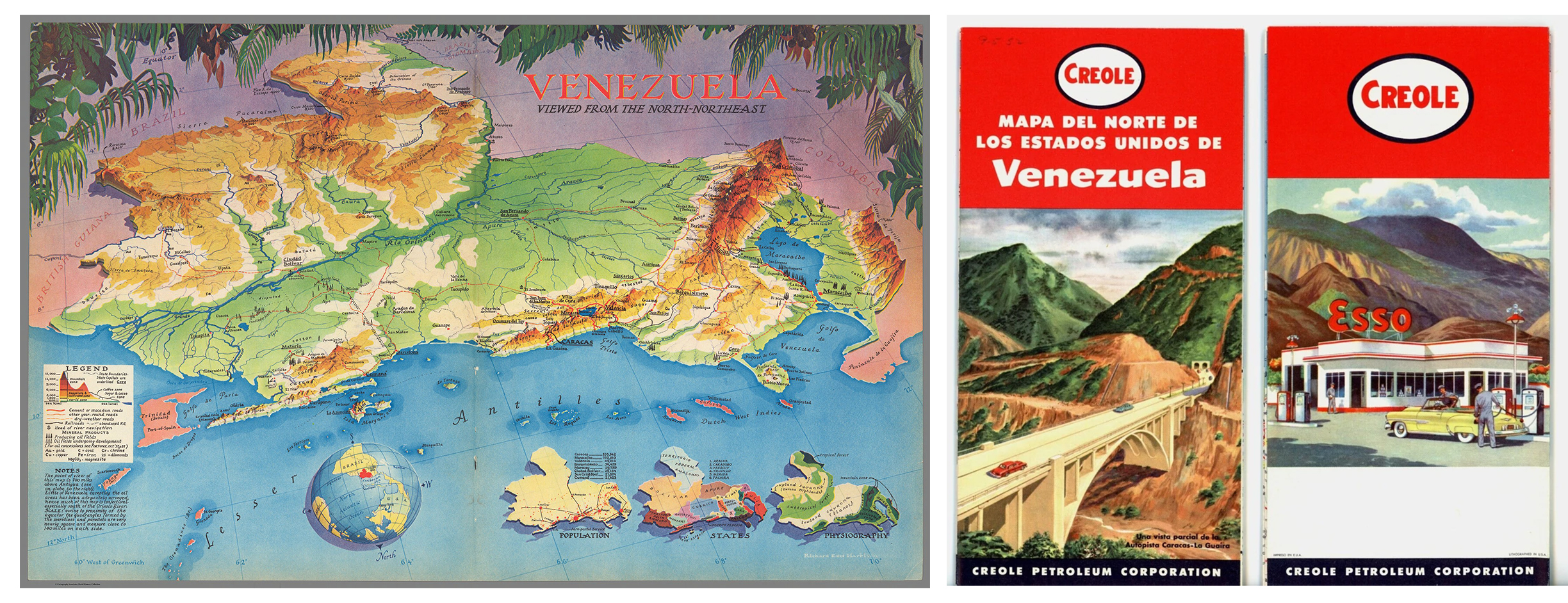 1952 Venezuela. Road Map – Creole Petroleum Corp. Esso
 Clipping from The New York Times, August 20, 1933, Section BR, p. 3
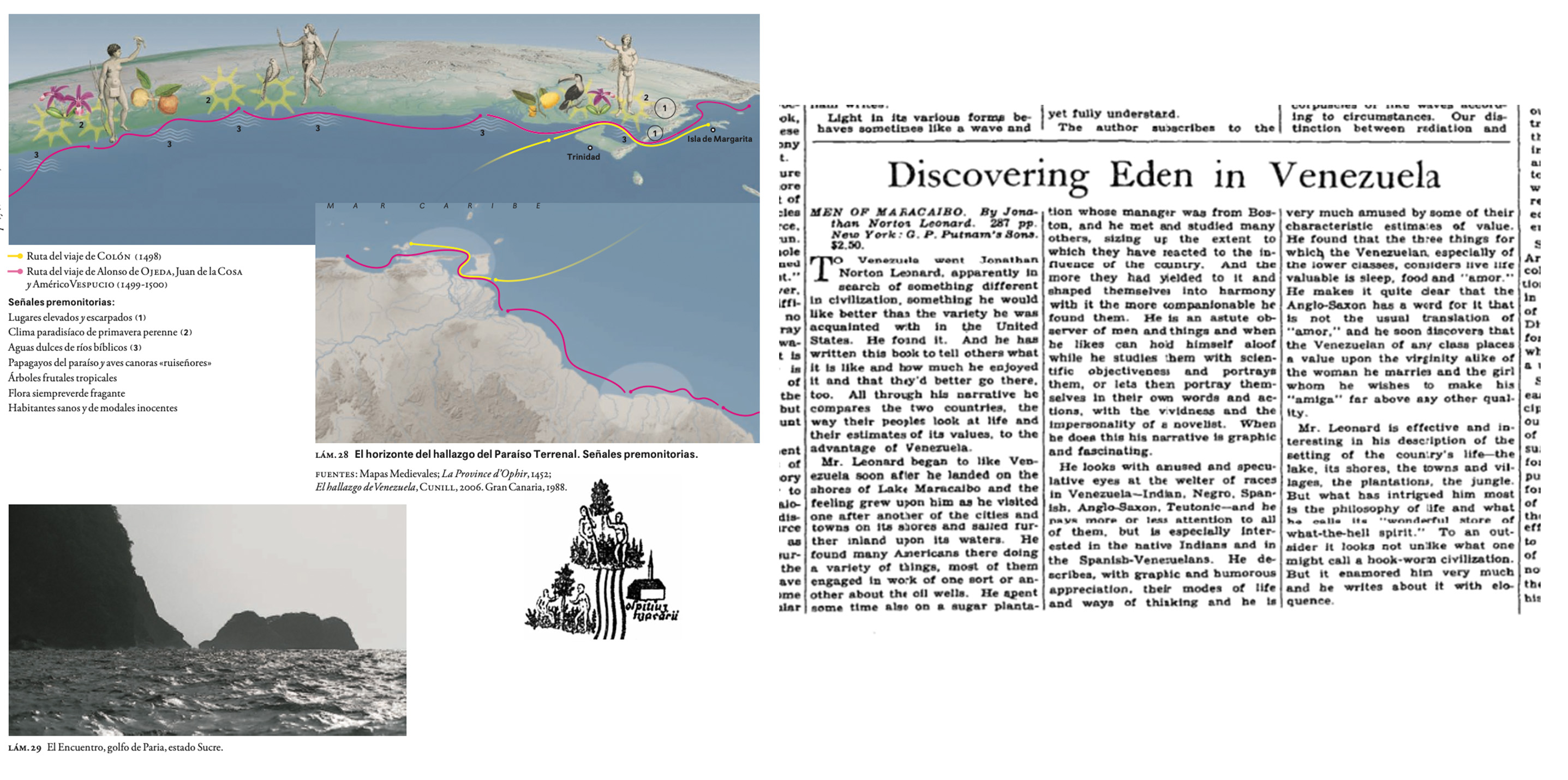
 Extract from Pedro Cunill Grau, Geohistoria de la Sensibilidad en Venezuela (Caracas: Editorial Fundación Empresas Polar, 2007), Chapter II, "La magnificencia tropical del paraíso terrenal," p. 46
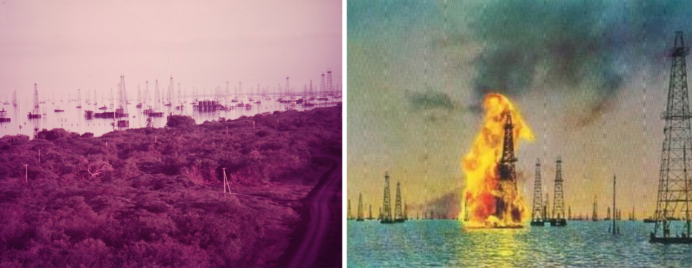
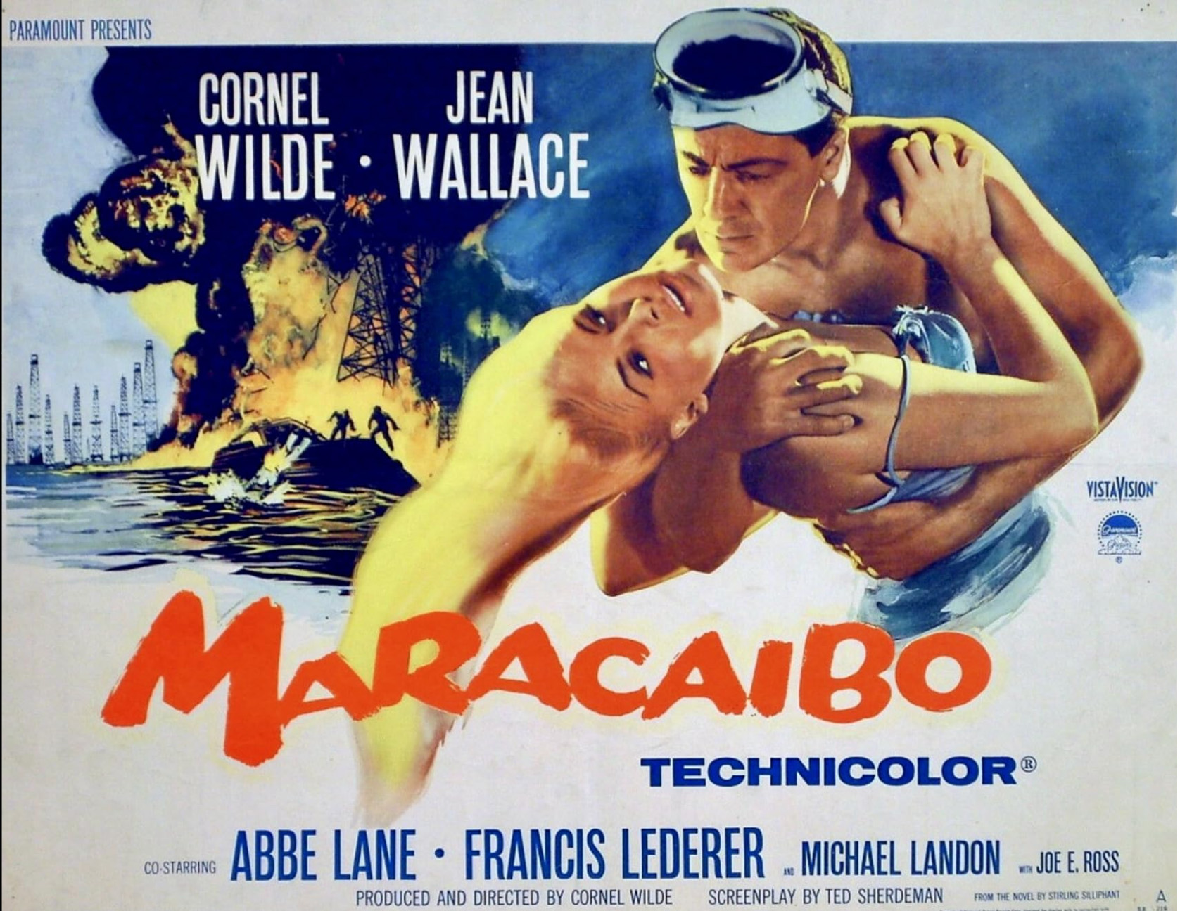 Poster of 1958 American drama film directed by Cornel Wilde
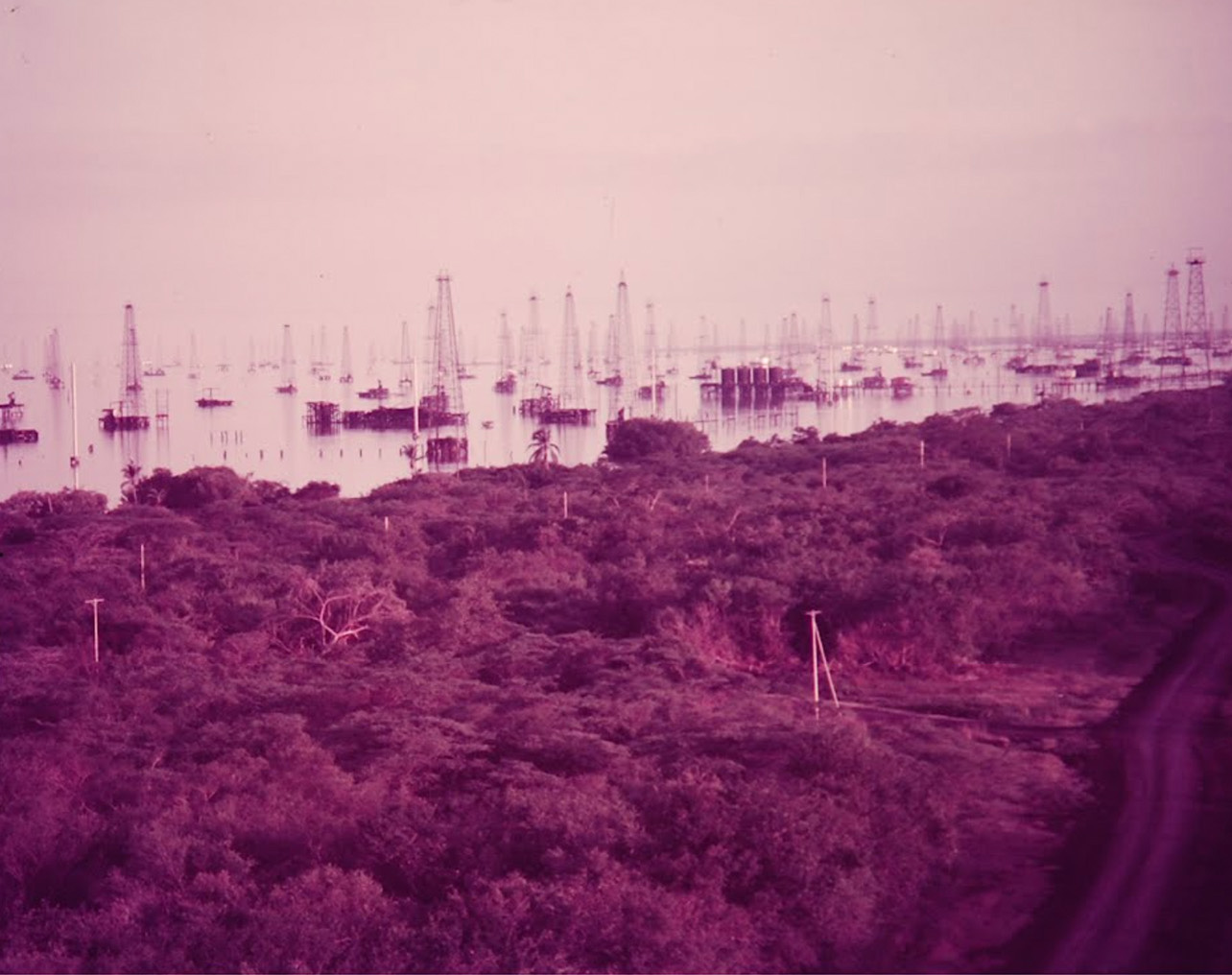 Cornell Capa, "Venezuela Essay," 1952, Life Magazine
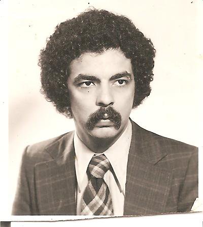
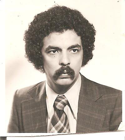 Photograph of the author’s father, mid-1970s.